We Can Survey Your Land
When you require accurate and efficient land surveying services, look no further than than Cross Point Surveying LLC in Vincennes, Indiana. When developing a parcel of land, it is important to know every bit of information about it. From the property lines to the topography, our experienced professionals can provide you with the services you need to ensure you have detailed and accurate field results. Our experts will collect the field data, calculate the dimensions of the land, research all legal information about the property, draw a map of the property, and issue the survey.


Our Surveying Services Include:
ALTA Survey
A survey carried out to provide the location and survey information required for the issuance of title and/or mortgage insurance to a title company and lender. To satisfy "ALTA" requirements, a thorough map is necessary. The American Land Title Association is known by the abbreviation "ALTA." Determining property lines, pinpointing improvements, listing all easements, utilities, and other factors influencing the land are only a few of this type of survey's requirements. The most expensive surveys are ALTA surveys because they are the most thorough and can take weeks to complete. Any ALTA Land Survey must adhere to the "Minimum Standard Detail Requirements for ALTA/ACSM Land Title Surveys" as established by the National Society of Professional Surveyors, the American Land Title Association, and the American Congress on Surveying and Mapping. Commercial properties are the ones where the Alta Survey is most frequently used.
Bathymetric Surveys
Bathymetric Surveys allow us to measure the depth of a water body as well as mapping the underground features.
Boundary Survey
The true property corners and property lines of a piece of land are retraced or established by a boundary survey. Boundary surveys are frequently carried out for real estate transactions, in order to get building permits, settle property disputes, and in order to create fences. With this kind of survey, if requested, easement lines can also be found.
Construction/Machine Grade Modeling
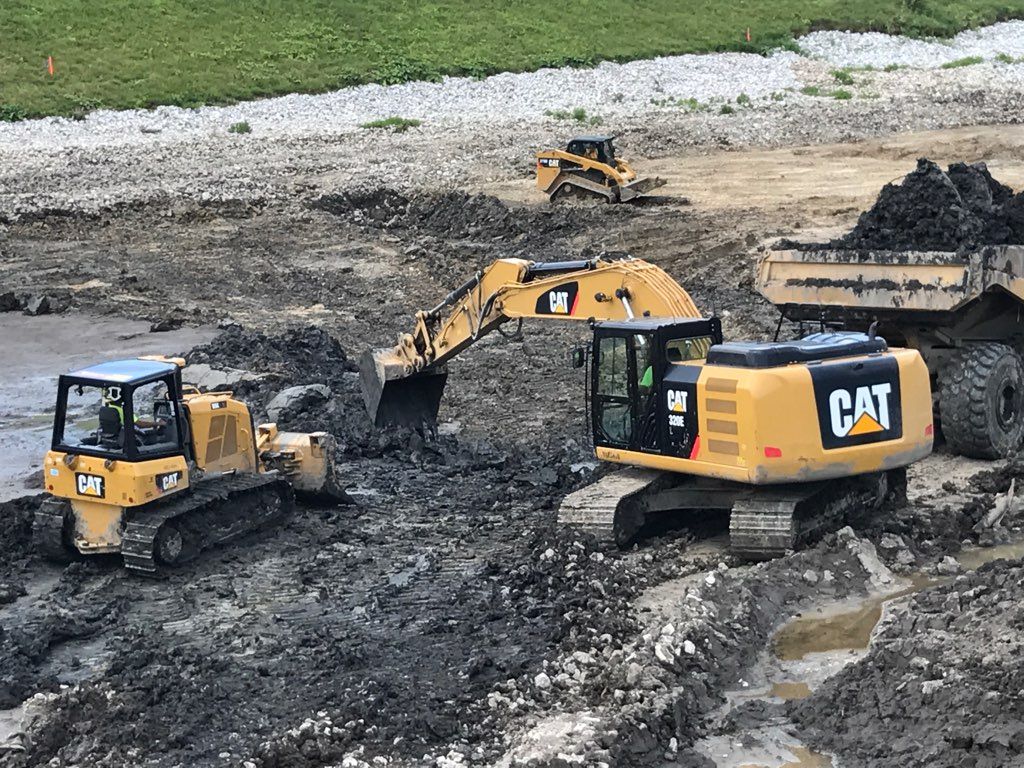
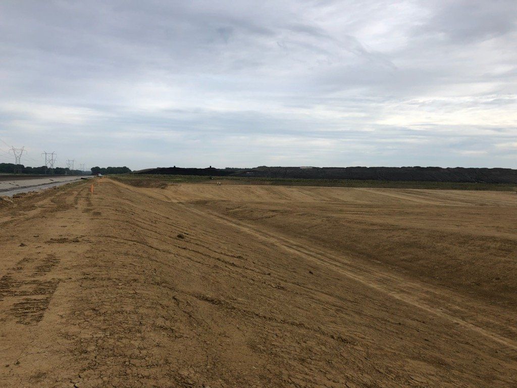
Stakeout of line and grade for structures including buildings, fences, and roads, as well as measurements taken during or before construction to manage elevation, horizontal position, size, and configuration. Machine grade modeling is formatting and creating files for heavy equipment such as bulldozers so they can follow the correct grades for new construction projects.
Quantity Survey
Quantity measurements is calculating materials such as dirt or stone to be moved or placed.
Route – Utility Survey
For an alignment or linear feature like a road, railroad, canal, pipeline, or utility line, reconnaissance, preliminary, and location surveys are required.
Site Plan Survey
a site plan created using boundary and topographic surveys in order to design enhancements or developments and apply for building permissions from the government.
Subdivision Survey
It is the partition of a large plot of land into smaller portions, depicted on a map with monumentation and mathematical survey data, in accordance with local government (often county) legislation. This process is also known as "Subdivision Platting."
Topographic Survey
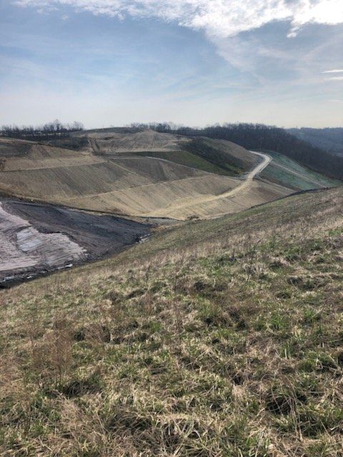
A land survey identifies both natural and man-made characteristics, including elevations, land contours, trees, streams, improvements, fences, and structures. A government agency may mandate this kind of study, or engineers and/or architects may utilize it to plan developments or improvements on a site.
By establishing the corners, lines, boundaries, and history of the land in question, it can help you plan any design or construction of any buildings, fences, pools, or significant landscaping projects that you have in mind. A survey can also be used to help should there be any property disputes or uncertainty of a property's boundary lines.
Free Estimates Available
Don't wait to get started on mapping your land correctly and efficiently, call us today at (812) 830-0200 for a free estimate on our land surveying services.
Phone: (812) 830-0200 | Servicing Southwest Indiana | Email: bhudson@crosspointsurveying.com
| Cross Point Surveying LLC

