
SURVEYING FACTS YOU PROBABLY DIDN'T KNOW
DID YOU KNOW:
Before becoming president of the United States, Thomas Jefferson, John Adams, Abraham Lincoln, and George Washington all worked as land surveyors?
DID YOU KNOW:
One of the oldest known professions is surveying, right? 3,000 B.C., Egyptian Land Surveying.
In Ancient Egypt, a surveyor's responsibilities included the establishment of boundaries and building development. Surveying became necessary as a result of Ancient Egypt's developed society. The annual flooding of the Nile, which had a huge impact on Egyptian life, frequently changed the form of the land along the river's banks or caused the stones that served as boundaries to vanish. In order to settle any conflicts between neighbors, a surveyor was required to remeasure the area and update the marks as needed. Surveyors also gave data for building projects. The cardinally oriented structures, such as the temples and pyramids, are of particular significance since they needed meticulous surveying to achieve the necessary orientation. The proof of the surveyors' work, which can be found in the form of images on tomb walls, demonstrates the importance of their job. The surveyor's standing in Egyptian society indicates that they belonged to the top class and had a high level of education.
DID YOU KNOW:
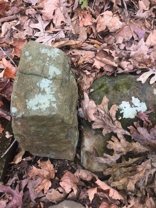
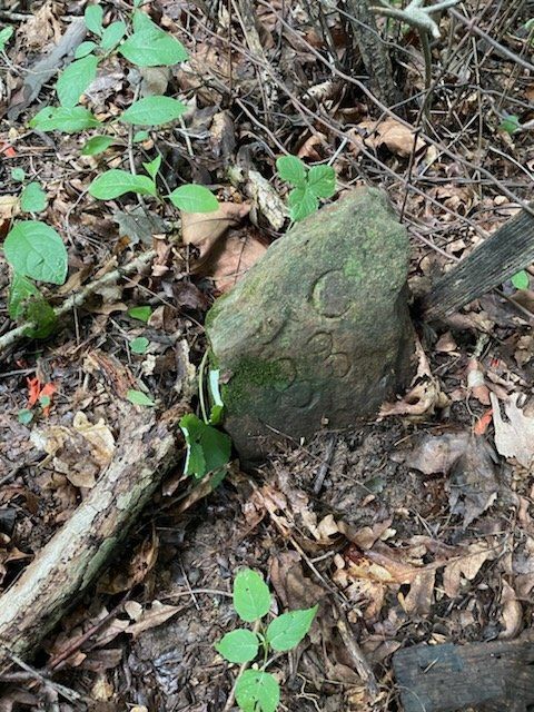
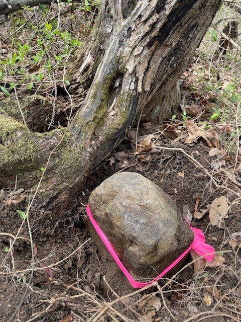
Some of the earlier Indiana Boundary corners were set by using stones?
DID YOU KNOW:
Land Surveying was talked about in the Bible?
"... the land that will be allotted to you as an inheritance will have these boundaries: 'Your southern side will include some of the Desert of Zin along the border of Edom. On the east, your southern boundary will start from the end of the Salt Sea, cross south of Scorpion Pass, continue on to Zin and go south of Kadesh Barnea. Then it will go to Hazar Addar and over to Azmon, where it will turn, join the Wadi of Egypt and end at the Sea.
'Your western boundary will be the coast of the Great Sea. This will be your boundary on the west.
'For your northern boundary, run a line from the Great Sea to Mount Hor and from Mount Hor to Lebo Hamath. Then the boundary will go to Zedad, continue to Ziphron and end at Hazar Enan. This will be your boundary on the north.
'For your eastern boundary, run a line from Hazar Enan to Shepham. The boundary will go down from Shepham to Riblah on the east side of Ain and continue along the slopes east of the Sea of Kinnereth. Then the boundary will go down along the Jordan and end at the Salt Sea.
'This will be your land, with its boundaries on every side.' "
(Numbers 34: 2-12)
A few other examples are:
- You shall not move your neighbor’s landmark, which the men of old have set,
in the inheritance that you will hold in the land that the LORD your God is
giving you to possess. (Deuteronomy 19:14)
- Cursed be anyone who moves his neighbor’s landmark. And all the people
shall say, Amen. (Deuteronomy 27:17)
- Do not move the ancient landmark that your fathers have set.
(Proverbs 22:28)